Hydrographic and Topographic Survey
We provide accurate Hydrographic and Topographic Surveys for land and water environments using advanced equipment.
About This Service
Comprehensive Survey Solutions
Our Hydrographic & Topographic Survey services deliver precise measurements and mapping for both terrestrial and aquatic environments. We utilize state-of-the-art equipment including multibeam echosounders, LiDAR systems, and GPS technology to capture accurate data essential for construction, navigation, and environmental projects.
Key Features
- Bathymetric surveys for water depth mapping
- Topographic mapping for land development
- 3D terrain modeling and visualization
- Sub-bottom profiling for underwater structures
- Real-time data processing and quality control
- Detailed reports and GIS deliverables
Applications
Our survey data supports port development, dredging operations, pipeline routing, cable laying, marine construction, coastal engineering, and environmental impact assessments. We ensure compliance with international standards and provide deliverables in multiple formats suitable for engineering and navigation purposes.
Why Choose Us
What sets our services apart
Advanced Equipment
Latest technology and cutting-edge equipment
Expert Team
Experienced professionals with extensive expertise
Fast Delivery
We commit to deadlines and deliver on time
Quality Assurance
Highest quality standards in all projects
Competitive Pricing
Transparent and competitive pricing
Ongoing Support
Support and assistance after completion
How We Work
A simple and effective process
Consultation
We discuss your requirements and understand your project needs
Planning
We create a detailed plan and prepare all resources
Execution
We execute the project with high precision
Delivery
We deliver final results and provide support
Related Projects
Projects we've completed in this area
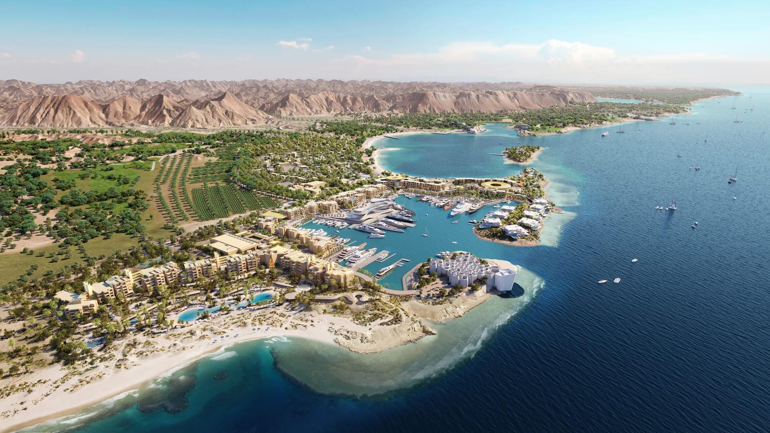
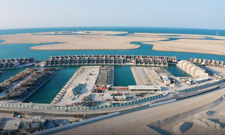
Amaala at Triple Bay: Comprehensive Bathymetric and Topographic Survey
Saudi Arabia
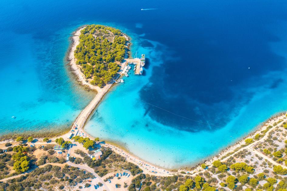
Bathy Survey for Mutarit Island
Mutarit Island, Bahrain
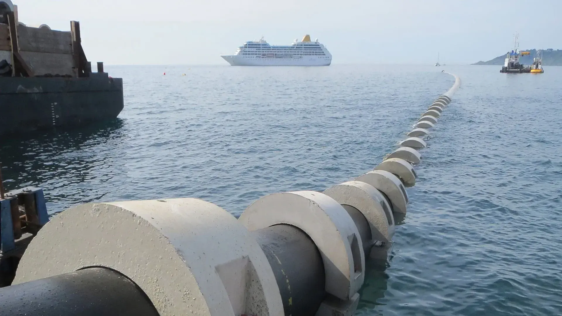
Outfall Pipeline Laying Project Survey Services
Bahrain
Geophysical Survey for New Cable Route - Jufair to Hidd
Jufair to Hidd, Bahrain
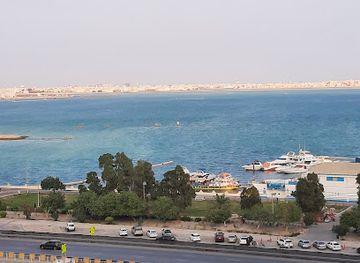
Diyar ul Muharaq Access Channel Survey
Diyar ul Muharaq, Bahrain
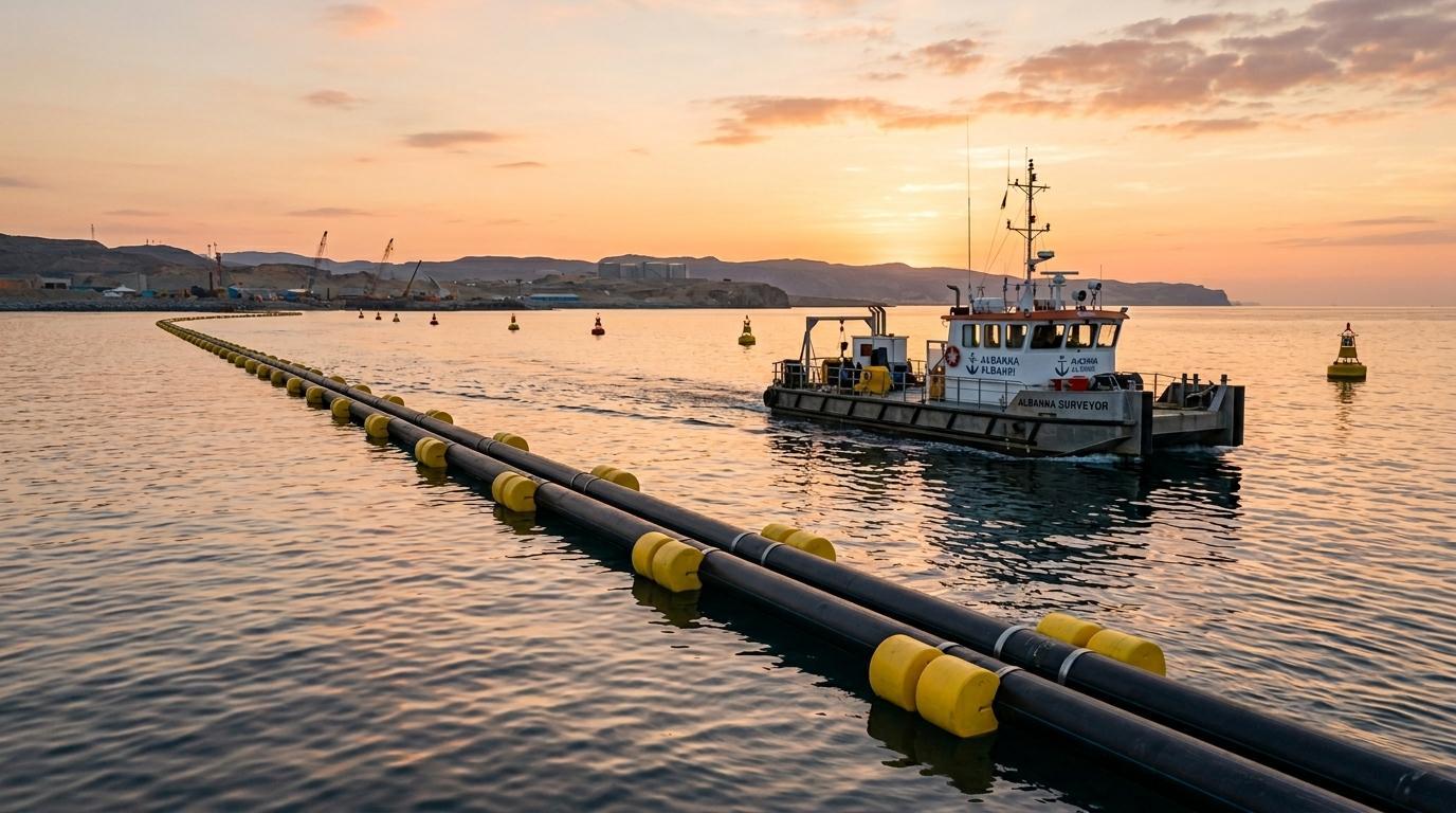
HDPE Pipeline and Barge Sailing Route Survey
Bahrain