Marine Survey
Delivering precise seafloor and subsurface imaging to support safe, efficient marine exploration and engineering operations.
About This Service
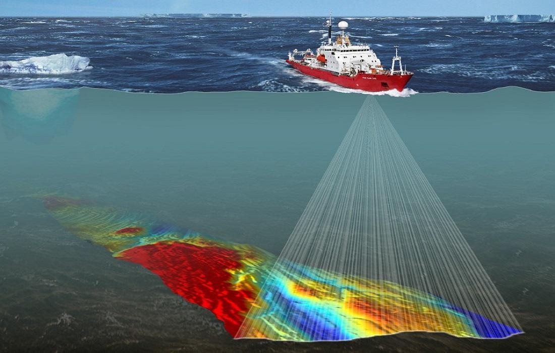
Marine Geophysical Surveying
Our geophysical solutions deliver high-resolution data essential for offshore engineering and environmental assessments.
- Multibeam Echosounding for Detailed Bathymetry: High-density mapping to produce precise 3D models of seafloor topography.
- Side-Scan Sonar for Seafloor Characterization: Acoustic imaging to identify surface textures, debris, and natural seabed features.
- Sub-Bottom Profiling for Sediment Analysis: Penetrating acoustic technology to visualize geological layers and sediment thickness below the seabed.
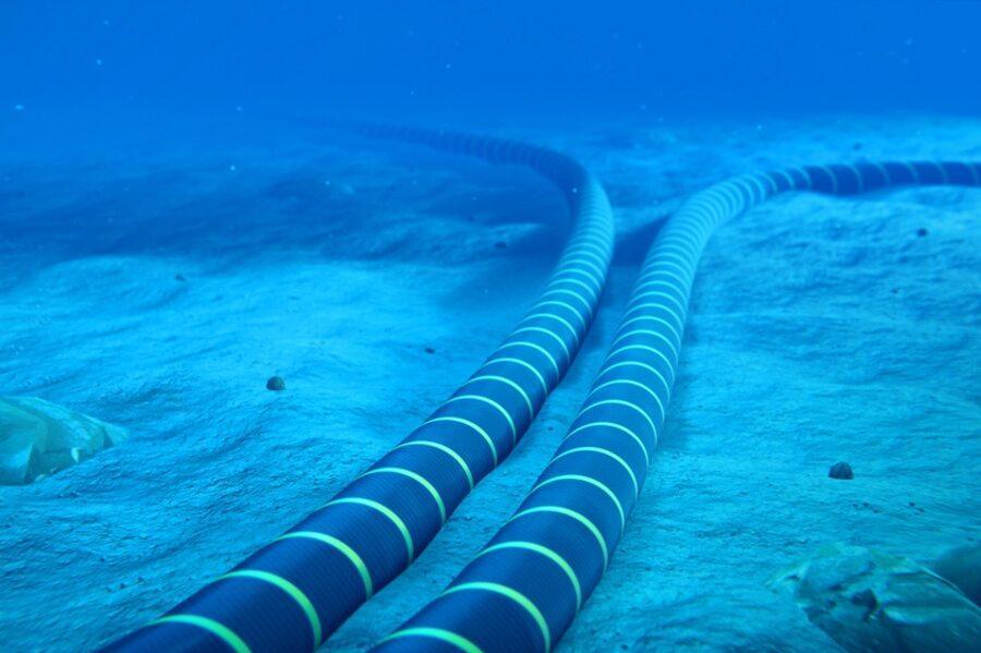
- Magnetometer Surveys for Pipeline Detection: Specialized magnetic sensing to locate and map buried cables, pipelines, and metallic objects.
- Current Profiling and Water Column Analysis: Dynamic measurement of water movement and properties to understand the marine environment.
Why Choose Us
What sets our services apart
Advanced Equipment
Latest technology and cutting-edge equipment
Expert Team
Experienced professionals with extensive expertise
Fast Delivery
We commit to deadlines and deliver on time
Quality Assurance
Highest quality standards in all projects
Competitive Pricing
Transparent and competitive pricing
Ongoing Support
Support and assistance after completion
How We Work
A simple and effective process
Consultation
We discuss your requirements and understand your project needs
Planning
We create a detailed plan and prepare all resources
Execution
We execute the project with high precision
Delivery
We deliver final results and provide support
Related Projects
Projects we've completed in this area
Geophysical and Hydrodynamic Survey
Bahrain
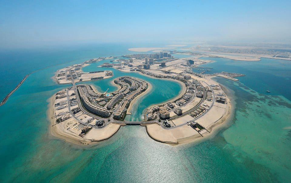
Bathymetric Survey for Power Cable Route - Amwaj Island
Amwaj Island, Bahrain
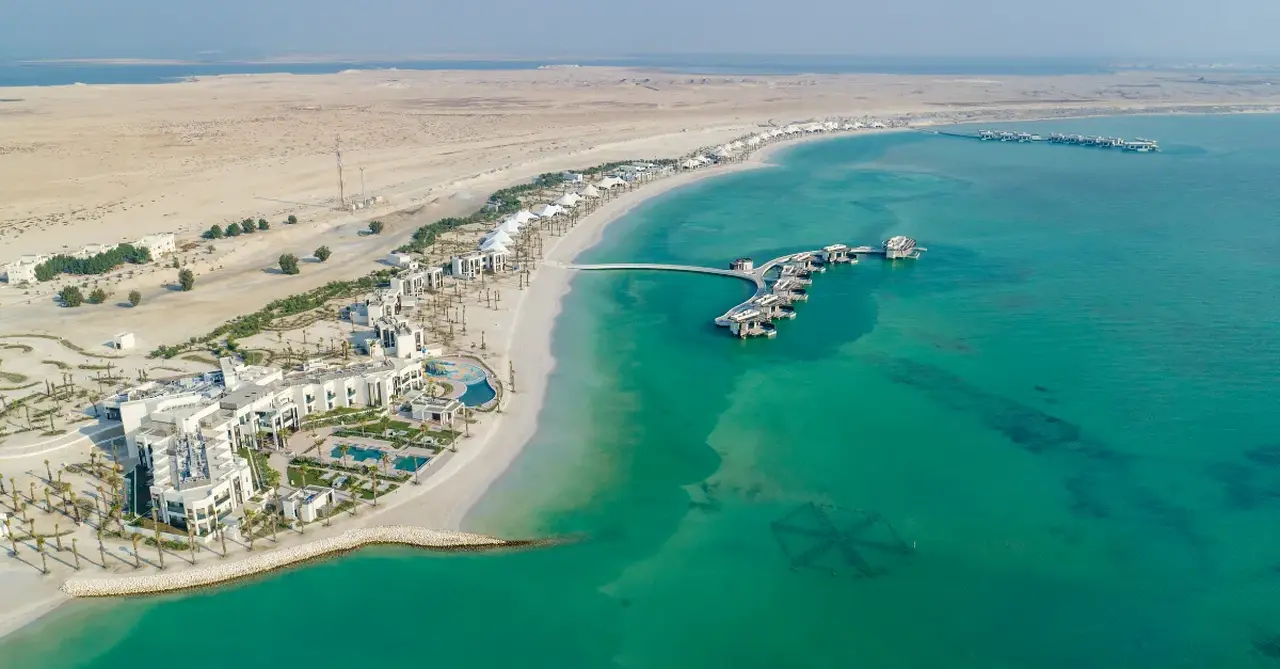
Geophysical Survey for Cable Route - South Bahrain to Hawar Island
South Bahrain to Hawar Island
Geophysical Survey for Cable Route - Package 2
South Bahrain to Hawar Island
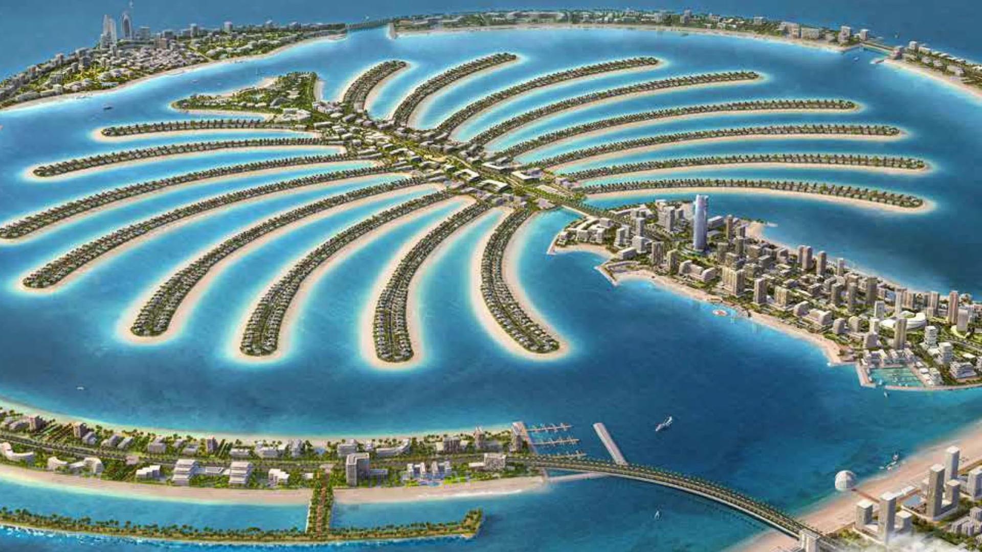
New Access Channel Pre-Dredge Survey - Palm Jumeirah Dubai
Palm Jumeirah, Dubai, UAE